About Us
Based in Indonesia with Over 30 Years Servicing SouthEast Asia
PT Map Tiga Internasional (PTMI) has been servicing the region since 1997. Formerly PT McElhanney Indonesia, we have aimed at the highest quality work using the most up-to-date equipment on the market.
PTMI’s well trained staff will help make your project a success. There are no projects too small or too big for us to tackle.
Our Specialties

Aerial Survey - LiDAR
Our state-of-the-art equipment can fulfill any mapping specification that your project may require.

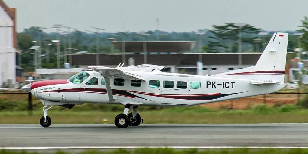
Air Charter
Our modern aircraft is survey/passenger charter ready to take you where you need to go.

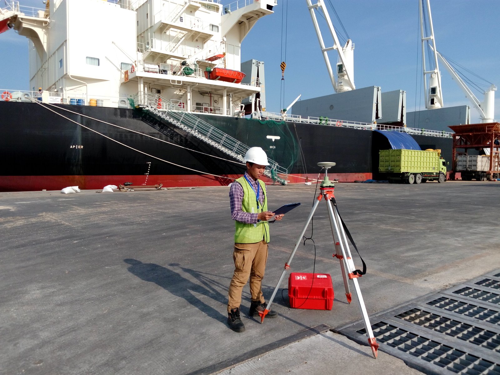
Surveying
Our experienced ground crew are sure to complete any survey requirement you may have.
Our Markets
We are the industry leaders for airborne survey in SE Asia.
Mining
From exploration to reclamation, PTMI can provide your project with the best data. Geological analysis, drill collar placement, pit volumes, reclamation.....PTMI's data has you covered.
Geothermal/Oil & Gas
PTMI is the industry leader in Geothermal mapping. Our client list is extensive and covers most projects currently active in Indonesia. Our specialized flight planning and state-of-the-art airborne equipment will fulfill your planning and monitoring requirements.
Plantation/Forestry
PTMI has a unique advantage of providing Canadian-based forestry analysis and insight using the newest technologies to your project. While the vegetation in SE Asia is very different, the application of pre and post harvest analysis relating to silviculture and production requirements remain the same.
Archaeology/Development
We are internationally recognized with our aerial surveys relating to high precision archaeology. Our resume speaks for itself when it comes to defining modern to ancient civilizations.

