Surveying
Survey by PTMI
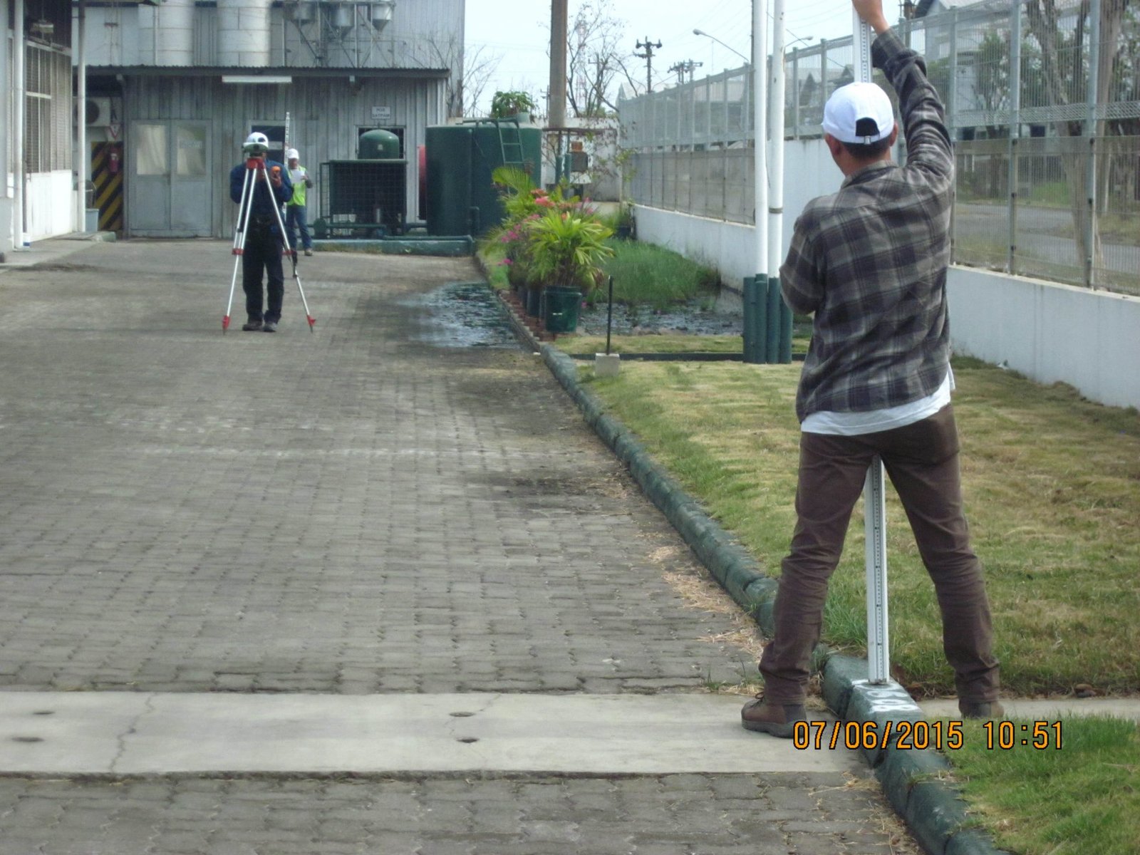
PTMI utilizes the newest technology in survey equipment. We have a fleet of GPS receivers, , Real Time Kinematic (RTK), Total Stations and Terrestrial Laser Scanner (TLS). Contact us for your needs and we will help you design your survey.
We have extensive experience throughout SE Asia using different control networks and datums. Ask us for assistance in designing your perfect survey.
Millimeter accurate ground surveys that are the critical starting point for any project.


GPS Control Network
PTMI employs Survey professionals that are the best at designing and executing the perfect survey project. As a standard starting point for all airborne surveys, PTMI are knowledgeable at establishing new control points and validating existing control networks.
We utilize all L1/L2 capable receivers to ensure that no baseline is too long for us to work with.
Successful projects start with a precise survey
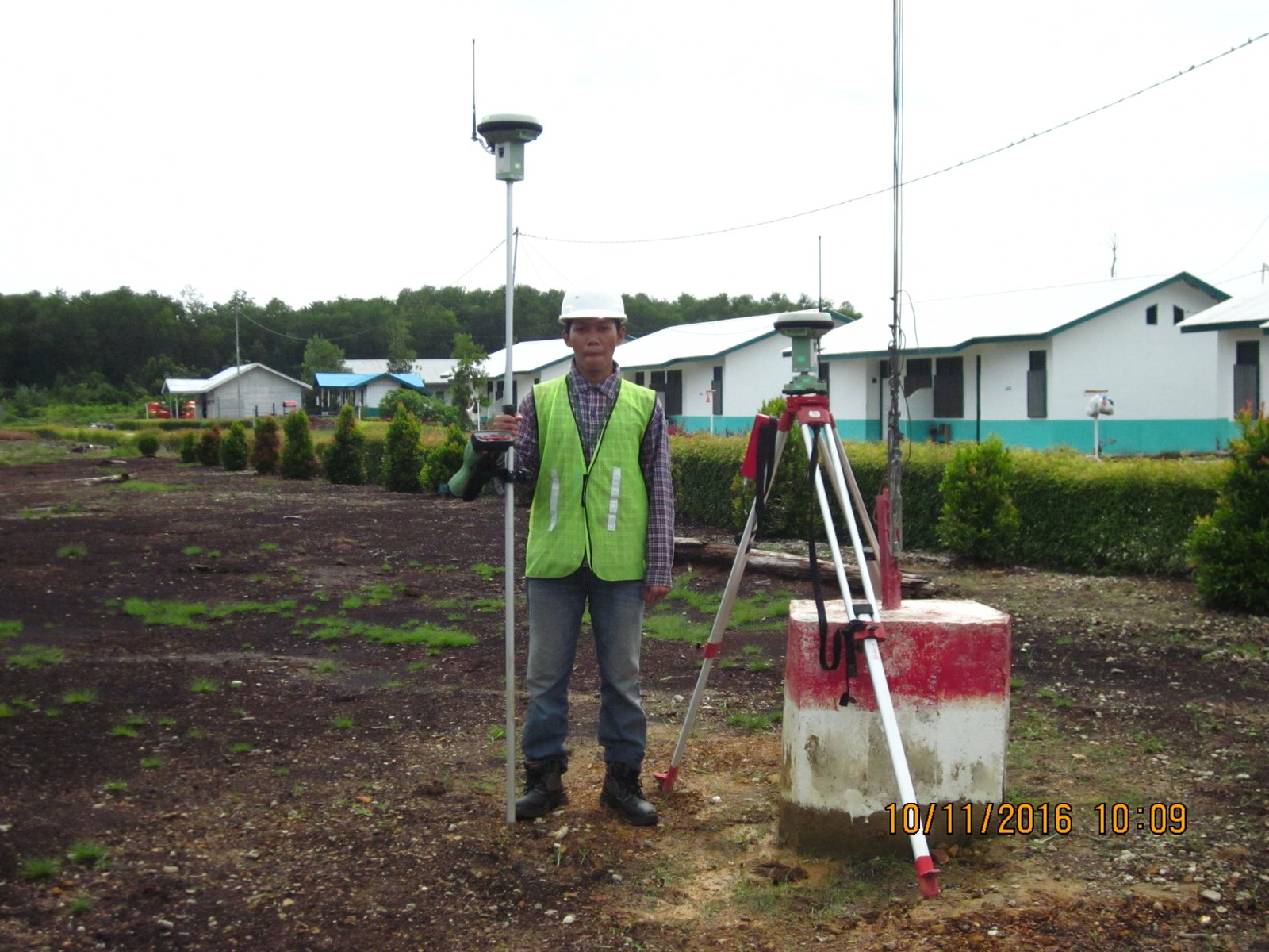
Real Time Kinematic (RTK)
RTK surveys are also the standard way that PTMI employs to validate the accuracy of the airborne data. This is also highly valuable for engineering design layout or monitoring.
PTMI also have Total Station capacity for those projects that require such accuracy.
RTK surveys are the best way to validate that your data meets the precision you expect


Terrestrial Laser Scanning (TLS)
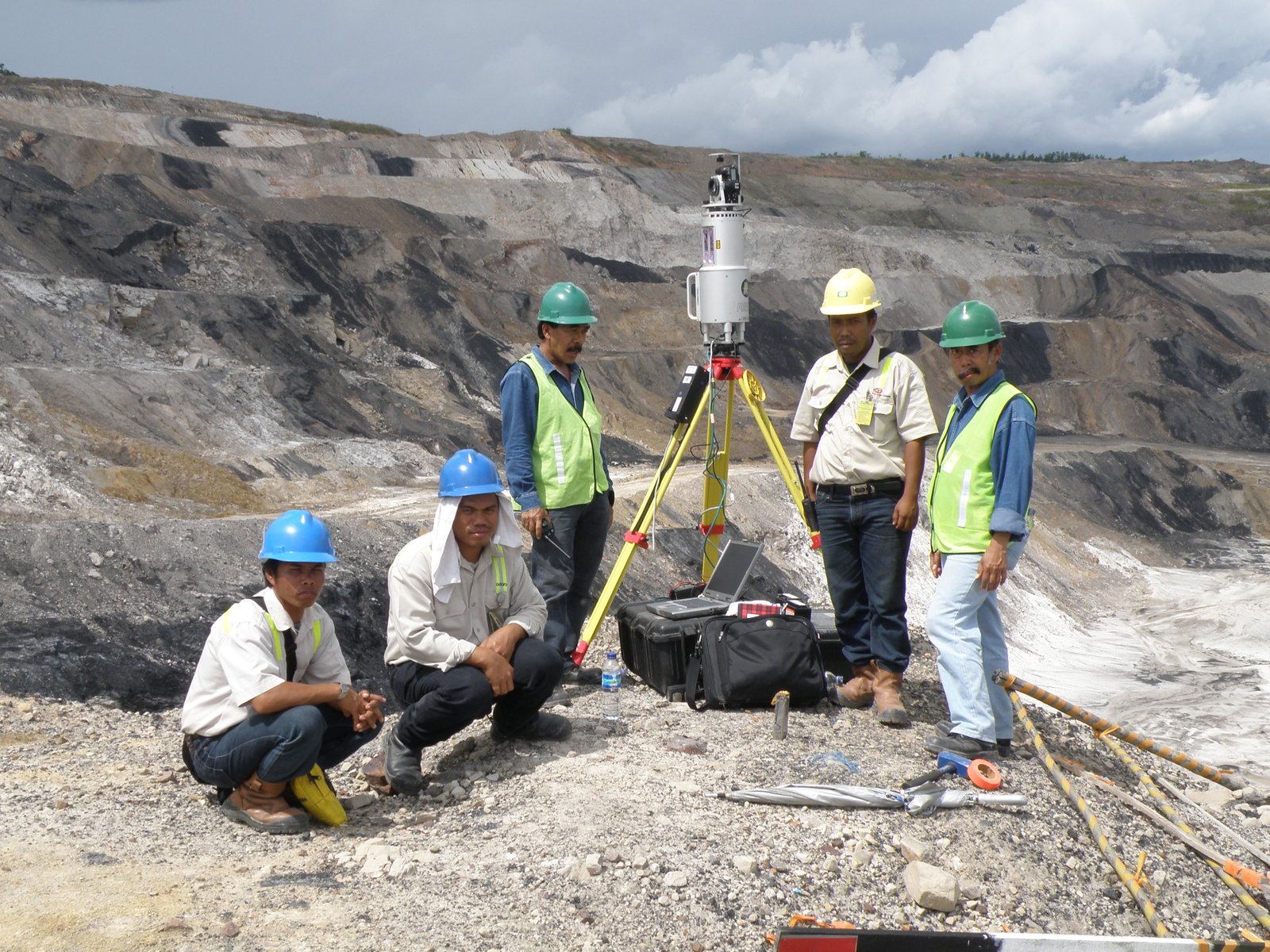
TLS surveys are commonly used for open areas where full modeling is critical such as mines (open pit and underground), plantations and structures. TLS data gives you incredible insight into the 3D look of your project with millimeter accuracy.
Our TLS equipment can be mounted on a secured tripod for long distance scanning (up to 1.5 kilometers) or on a vehicle where linear coverage is as critical as the ground based perspective.
